White Christmas Odds: Will It Snow on Christmas in Your City?
Snow falls on Christmas Day about 37% of years in Fargo, 28% in Salt Lake City, and 25% in the Lake Erie snowbelt around Cleveland — but essentially never in the Sunbelt, from Houston to Miami to Los Angeles. The surprise in the numbers: high-desert Salt Lake City and Boise both out-snow Chicago and Minneapolis. We checked every Christmas since 1970 in the NOAA record to rank all 50 cities.
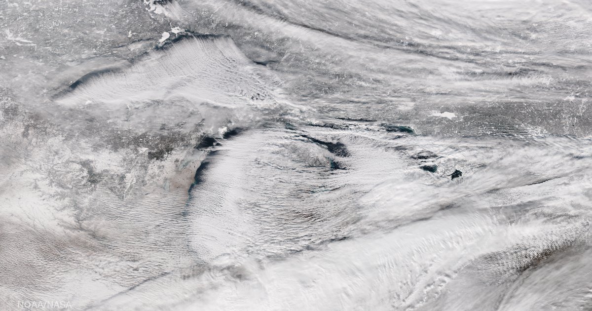
White Christmas Odds for 50 US Cities, Ranked
“Snow odds” is the chance measurable snow (0.1 inch or more) falls on Christmas Day, over the most recent 30 winters. “Snowiest” is the most snow ever recorded on December 25; “warmest” and “coldest” are the temperature extremes for the day, back to 1970.
| # | City | Snow Odds | Snowiest | Warmest | Coldest |
|---|---|---|---|---|---|
| 1 | FargoND | 37% | 8.1"2009 | 47° | -27° |
| 2 | AnchorageAK | 32% | 5.8"2008 | 42° | -9° |
| 3 | Salt Lake CityUT | 28% | 8.6"2016 | 60° | -2° |
| 4 | BoiseID | 27% | 6.1"1998 | 59° | -20° |
| 5 | ClevelandOH | 25% | 10.2"2002 | 66° | -10° |
| 6 | MilwaukeeWI | 25% | 2.4"1989 | 61° | -12° |
| 7 | ChicagoIL | 22% | 2"2002 | 64° | -13° |
| 8 | PittsburghPA | 21% | 5.1"2020 | 66° | -12° |
| 9 | Des MoinesIA | 20% | 3.4"2009 | 60° | -15° |
| 10 | IndianapolisIN | 19% | 2.6"2005 | 63° | -15° |
| 11 | DenverCO | 17% | 2.4"2007 | 73° | -10° |
| 12 | ColumbusOH | 16% | 1.9"1976 | 63° | -12° |
| 13 | MinneapolisMN | 16% | 2.7"2013 | 52° | -18° |
| 14 | DetroitMI | 14% | 5"2017 | 59° | -7° |
| 15 | BostonMA | 12% | 3.3"2002 | 62° | -7° |
| 16 | CincinnatiOH | 12% | 2.5"1993 | 69° | -12° |
| 17 | St. LouisMO | 10% | 1.5"1975 | 70° | -13° |
| 18 | LouisvilleKY | 10% | 0.9"1992 | 75° | -7° |
| 19 | Kansas CityMO | 9% | 4.5"2009 | 68° | -13° |
| 20 | Oklahoma CityOK | 8% | 0.6"2012 | 79° | -1° |
| 21 | AlbuquerqueNM | 8% | 0.8"1983 | 64° | 0° |
| 22 | SeattleWA | 7% | 1"2017 | 60° | 24° |
| 23 | New York CityNY | 6% | 5"2002 | 66° | -1° |
| 24 | PhiladelphiaPA | 6% | 1.1"2002 | 68° | 1° |
| 25 | PortlandOR | 5% | 0.3"2008 | 62° | 21° |
| 26 | NashvilleTN | 3% | 1.1"2010 | 76° | -5° |
| 27 | BaltimoreMD | 2% | 1"2002 | 71° | 0° |
| 28 | AtlantaGA | 2% | 1.3"2010 | 75° | 0° |
| 29 | DallasTX | 2% | 2"2012 | 81° | 5° |
| 30 | MemphisTN | 2% | — | 77° | 0° |
| 31 | RichmondVA | 2% | 2.7"2010 | 75° | 3° |
| 32 | RaleighNC | 2% | — | 75° | 4° |
| 33 | CharlotteNC | 1% | 0.4"2010 | 79° | 4° |
| 34 | MiamiFL | never | — | 87° | 31° |
| 35 | TampaFL | never | — | 86° | 20° |
| 36 | New OrleansLA | never | — | 82° | 17° |
| 37 | JacksonvilleFL | never | — | 83° | 27° |
| 38 | BirminghamAL | never | — | 78° | 2° |
| 39 | OrlandoFL | never | — | 86° | 30° |
| 40 | HoustonTX | never | — | 83° | 24° |
| 41 | San AntonioTX | never | — | 80° | 11° |
| 42 | AustinTX | never | — | 80° | 10° |
| 43 | PhoenixAZ | never | — | 79° | 25° |
| 44 | TucsonAZ | never | 2.6"1987 | 81° | 27° |
| 45 | Las VegasNV | never | — | 67° | 18° |
| 46 | Los AngelesCA | never | — | 83° | 38° |
| 47 | San FranciscoCA | never | — | 69° | 34° |
| 48 | San DiegoCA | never | — | 86° | 25° |
| 49 | SacramentoCA | never | — | 67° | 20° |
| 50 | HonoluluHI | never | — | 84° | 59° |
Source: NOAA GHCN-Daily, WeatherOnThisDay analysis. Snow odds = per-day probability of measurable snow across Dec 22–28, 1996–2025. Temperature extremes are for December 25, 1970–2025.
The Locks — and the High-Desert Surprise
The safest bets are exactly where you would guess: Fargo (37%) and Anchorage (32%) lead the country, and the Great Lakes snowbelt piles in right behind — Cleveland and Milwaukee at 25%, Chicago at 22%, Pittsburgh at 21%. Lake-effect machinery is the reason Cleveland holds the single snowiest Christmas in our data, a 10.2-inch dump in 2002.
Then the numbers do something people do not expect. Salt Lake City (28%) and Boise (27%) — two high-desert cities in the interior West — out-snow Chicago, Minneapolis (16%), and even Denver. Elevation is the whole story: Salt Lake sits at 4,200 feet and Boise at 2,800, high enough that a Christmas storm falls as snow rather than the cold rain the same system might bring to a lower, milder Midwest.
And Denver, the Mile High City, is the counter-surprise — just 17%, well behind the Great Lakes cities. Denver's winters are famously sunny and dry between storms; downslope “chinook” winds off the Front Range routinely melt the snowpack and leave many a Christmas brown. Its last white Christmas by our measure was 2012.
The Metros That Basically Never Get One
In 17 of the 50 cities, snow has never once fallen on Christmas Day in our 1970–2025 record — the entire Sunbelt and West Coast, from Houston and New Orleans to Phoenix, Las Vegas, Los Angeles, San Diego, and San Francisco. The lone exception among the desert cities is Tucson, which has had exactly one white Christmas: a 2.6-inch surprise in 1987.
The big Southeast and mid-Atlantic metros hover just above zero — Atlanta, Dallas, and Richmond all around 2%, each with a memorable one-off (Atlanta's snowy Christmas 2010, Dallas's in 2012). New York City and Philadelphia sit at 6%; both last managed it in 2002, when a pre-Christmas storm left a fresh 5 inches on Central Park. For most of the eastern seaboard, a white Christmas is a roughly one-in-fifteen event, not the greeting-card default.
The Coldest Christmas Was 1983. The Warmest Keep Coming.
One date dominates the cold-record column: December 25, 1983. An Arctic outbreak that week produced the coldest Christmas on record across almost the entire eastern half of the country — Chicago fell to 13 below zero, Indianapolis and Des Moines to 15 below, Pittsburgh and Milwaukee to 12 below. Fargo's all-time Christmas low, 27 below, came in another brutal year, 1996.
The warm records tell the opposite story, and they are recent. Christmas 2015, during a powerful El Niño, was stunningly mild in the East: New York City hit 66°F, Philadelphia 68°F, Atlanta 75°F. And the West just set new marks — on Christmas 2025, Denver reached 73°F and Oklahoma City 79°F, both the warmest Christmas in their records. The gap between a 27-below and a 79-degree Christmas is the whole American climate in a single date.
Will El Niño Change the Odds This Year?
A little, and regionally. Forecasters expect a strong El Niño for winter 2026–27, and El Niño winters tend to steer a more active southern storm track across the southern tier of the US while leaving the far north drier and milder. In practice that can nudge a white Christmas marginally more likely across the South and slightly less likely in the northern Plains — but city-level odds are still dominated by latitude and elevation, so Fargo will beat Miami in any ENSO phase. For the full seasonal picture, see our winter 2026–27 forecast built on El Niño analogs.
Cite this data
According to WeatherOnThisDay's analysis of NOAA GHCN-Daily records, measurable snow falls on Christmas Day about 37% of years in Fargo and 28% in Salt Lake City — which out-snows Chicago (22%) and Minneapolis (16%) thanks to elevation — but has never once fallen on the day in Miami, Houston, Phoenix, Las Vegas, Los Angeles, or San Francisco. The coldest Christmas on record across the eastern US came in the December 1983 Arctic outbreak; the warmest, in the record-mild El Niño Christmas of 2015.
How We Calculated This
We pulled every late-December daily observation for each city from NOAA's GHCN-Daily archive and computed the odds that measurable snow (0.1 inch or more) falls on a given day of the December 22–28 window — a ±3-day span around Christmas that smooths single-day noise — over the most recent 30 winters (1996–2025), the same 30-year basis NOAA uses for its climate normals. Snowiest, warmest, and coldest figures are for December 25 exactly, back to 1970.
A note on how this differs from NOAA's famous white-Christmas map. NOAA's map shows the historic probability of at least an inch of snow on the ground on Christmas morning, which runs higher because snow that fell days earlier can still be lying there. We measure snow actually falling on the day, because that is the more direct answer to “will it snow on Christmas” and it is what our daily archive records. Read the two together: NOAA tells you whether it will be white; we tell you whether it will be snowing.
For each city we used the best snow-reporting station within about 25 km of the city center, guarded against high-elevation outliers, and screened every value against NOAA's quality-control flags. As a check, Fargo's 8.1-inch Christmas 2009 (the documented northern-Plains Christmas blizzard), Cleveland's 10.2 inches in 2002, and the December 1983 cold outbreak all match the historical record.
Frequently Asked Questions
Which US city is most likely to have a white Christmas?
Fargo, North Dakota. Our analysis of NOAA daily records finds measurable snow falls on Christmas Day in Fargo about 37% of years, followed by Anchorage (32%), Salt Lake City (28%), and Boise (27%). Those odds describe fresh snow falling on the day; NOAA’s classic white-Christmas map, which counts snow already on the ground, runs higher for the same cities.
Does Salt Lake City really out-snow Chicago on Christmas?
Yes. In our data, snow falls on Christmas about 28% of years in Salt Lake City and 27% in Boise, versus 22% in Chicago and just 16% in Minneapolis. High-desert elevation is the reason: at 4,200 feet, a Christmas storm that would arrive as cold rain in the Midwest falls as snow in the Wasatch valleys.
What was the coldest Christmas on record?
The Arctic outbreak of December 1983 produced the coldest Christmas on record across much of the eastern US — Chicago fell to 13 below zero, Indianapolis and Des Moines to 15 below. Fargo’s all-time low for the day is 27 below (1996) and Boise’s is 20 below (1990). The warmest Christmas came in 2015, when a record-warm East reached 66°F in New York City.
Which big cities almost never get a white Christmas?
Every Sunbelt and West Coast metro. Snow has never fallen on Christmas Day in our record in Miami, Houston, New Orleans, Phoenix, Las Vegas, Los Angeles, San Diego, or San Francisco. Tucson is the outlier — it has had exactly one white Christmas, a 2.6-inch surprise in 1987.
Does El Niño make a white Christmas more or less likely?
It nudges the odds regionally rather than everywhere. A strong El Niño, like the one forecast for winter 2026-27, tends to steer a more active southern storm track across the southern US while leaving the northern tier drier and milder — so a white Christmas can become marginally more likely in the South and less likely across the far north. City-level snow odds are still governed mostly by latitude and elevation, though.
Want to know if your own town was white last year? Look up the weather on any past Christmas in your city with our date lookup.