Simon’s Moisture Aims 2 to 4 Inches at the Plains — Onto Some of the Driest Ground of the Fall
Flood Watches covered Texas, Oklahoma, Kansas and Missouri on October 14. The bullseye — Oklahoma, southeast Kansas and southwest Missouri — is the same ground that has barely seen rain all month. That is exactly what makes a modest-sounding forecast dangerous.
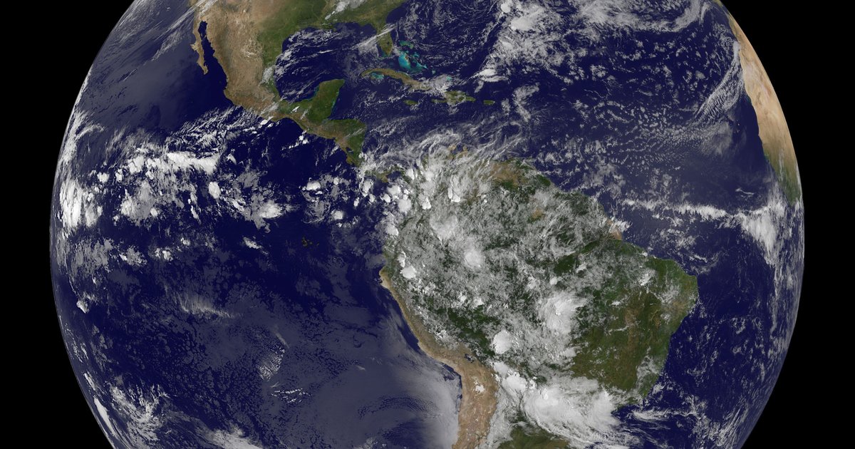
Flood Watches covered parts of Texas, Oklahoma, Kansas and Missouri on October 14, 2026, as tropical moisture from Hurricane Simon — stalled more than a thousand miles away off Mexico’s Pacific coast — fed a slow-moving storm forecast to drop 2 to 4 inches of rain, locally more, on Oklahoma, southeast Kansas and southwest Missouri through October 16. NOAA’s Weather Prediction Center put that bullseye at a Slight Risk — Level 2 of 4 — for flash flooding on October 14–15. The NWS office in Wichita had already hoisted Flood Warnings for south-central Kansas overnight.
Here is the part a rainfall map doesn’t show: the heaviest rain is aimed at some of the driest ground of the fall. Through October 10, Joplin, Missouri — in the center of the forecast bullseye — had recorded 0.32 inches for the month, barely a quarter of its normal early-October total. Springfield had 0.18. The Texas High Plains end of the corridor, from Lubbock to Amarillo, had had almost nothing. The danger here is the rate, not the soil.
The heaviest rain is aimed at the driest ground
Flash flooding usually gets framed as water piling onto ground that is already soaked. This event is the other kind. Across the corridor Simon’s moisture is pointed at, October rainfall is running below normal — in the bullseye, well below. Through the 10th, Joplin had 0.32 inches against a 1.16-inch early-October normal, Springfield 0.18 against 1.13, and Tulsa 0.59 against 1.10. At the Texas end, Lubbock had measured nothing at all, Amarillo a tenth of an inch. Only Oklahoma City, Wichita and Kansas City were running slightly ahead of their early-October pace, and only barely.
Dry ground does not make a 2-to-4-inch forecast safe — in some ways it makes the flash risk sharper. Hard, crusted soil and low creeks can shed an intense, training downpour into fast runoff before much of it soaks in, and the water piles into the small streams and storm drains that respond in minutes. That is a different setup from the late-September soaking that set monthly rainfall records from New Mexico to Nebraska and left the Southern Plains wet. The common thread is rate; the difference is what the ground was doing beforehand.
What 2 to 4 inches means against the record, city by city
The forecast number only means something next to the record. A widespread 2 to 4 inches sounds moderate — until you line it up against the wettest single October day each of these gauges has ever recorded. A localized 4-inch total in the bullseye (highlighted) would land within a hair of, or beyond, several of them. The two right-hand columns are every October on record at that gauge: the wettest single day, and the wettest full month. Read the month-to-date column on the left against the normal beside it to see how far behind the fall has been.
| City | Oct 1–10, 2026 | Normal (Oct 1–10) | Wettest October day | Wettest October ever |
|---|---|---|---|---|
| Lubbock, TX | 0.00 in | 0.57 in | 5.43 in (Oct 19, 1983) | 10.80 in (1983) |
| Amarillo, TX | 0.10 in | 0.74 in | 2.38 in (Oct 30, 1998) | 6.48 in (1998) |
| Midland, TX | 0.22 in | 0.57 in | 3.59 in (Oct 17, 1985) | 7.45 in (1986) |
| Oklahoma City, OKin the 2–4″+ bullseye | 1.30 in | 1.07 in | 5.45 in (Oct 20, 1983) | 13.18 in (1983) |
| Tulsa, OKin the 2–4″+ bullseye | 0.59 in | 1.10 in | 4.96 in (Oct 20, 1971) | 9.33 in (1983) |
| Wichita, KSin the 2–4″+ bullseye | 1.21 in | 1.02 in | 5.79 in (Oct 31, 1998) | 9.42 in (1998) |
| Joplin, MOin the 2–4″+ bullseye | 0.32 in | 1.16 in | 5.35 in (Oct 8, 2009) | 9.69 in (1998) |
| Springfield, MOin the 2–4″+ bullseye | 0.18 in | 1.13 in | 4.50 in (Oct 8, 2009) | 9.98 in (2009) |
| Kansas City, MO | 1.40 in | 1.26 in | 4.48 in (Oct 7, 2018) | 10.76 in (2018) |
Oct 1–10, 2026 totals and all records are single-station figures from each city’s primary long-record airport gauge (1970–present; Kansas City 1972–present), computed October 14, 2026 from NOAA GHCN-Daily, excluding QC-flagged days. “Normal (Oct 1–10)” is the mean of each prior year’s Oct 1–10 total at that gauge. The 2–4-inch-plus forecast and the Slight Risk are the WPC/NWS pre-event outlook for the Oklahoma–southeast Kansas–southwest Missouri bullseye; localized storm totals can run well above a single airport gauge.
Simon is a thousand miles away. Its moisture isn’t.
Hurricane Simon is not a threat to the United States in any direct sense. It is an eastern Pacific storm that stalled off the west coast of Mexico, and it never comes near land here. What crosses into the Plains is the air it has been feeding on. A steering pattern — a low to the west, high pressure to the east — opens a southwesterly conveyor that pulls that deep tropical moisture northeast across the Southern High Plains and into the Lower Missouri Valley. A slow-moving front, draped across the same ground, is what forces it to rise, cool and rain.
The numbers behind the risk are in the atmosphere, not the forecast map: WPC noted precipitable-water values running roughly two to three standard deviations above normal for mid-October in the rainfall corridor — an unusually wet airmass for this far into fall. When a front stalls under air that juiced, thunderstorms can train, forming and crossing the same towns in a line, which is how a “2-to-4-inch” event produces 5- and 6-inch spots. A cold front is forecast to sweep the moisture out Thursday night into Friday, ending the threat and dropping the weekend cooler and drier.
Why a “Slight Risk” is still worth taking seriously
Level 2 of 4 is not the top of WPC’s scale, and most of this corridor will not flood. But a Slight Risk is a flash-flood category, not a reassurance — it means scattered flash flooding is likely somewhere in the area, and the precise spot is nearly impossible to pin down a day out, because it depends on where the training sets up. Oklahoma City, Wichita, Tulsa, Joplin and Springfield are all inside it. The NWS in Wichita didn’t wait for the daytime: Flood Warnings went up for Harper and Sumner counties in south-central Kansas overnight.
The safety rule doesn’t change with the risk level: in any flash-flood watch, never drive into water on a road. The National Weather Service’s “Turn Around, Don’t Drown” guidance notes a foot of moving water can float most cars, and you can’t judge the depth or the current from a driver’s seat. If you want the longer context for what the water has done when it really piled up, our worst floods in U.S. history ranking and the running 2026 hurricane season tracker both put this kind of moisture surge in perspective.
Check your own spot against the record. Look up any past day in your town at our weather history lookup, see where your city ranks among the rainiest cities in America, follow the live counts on our flood-event tracker, or dig into the full records for Oklahoma and Missouri. If your rain gauge tops the figures in the table above when this is over, we want the number — we’ll update this page with the observed totals once the gauge data lands.
Frequently Asked Questions
Which states are under a flood watch in the October 2026 Central Plains event?
As of October 14, 2026, Flood Watches for excessive rainfall covered parts of Texas, Oklahoma, Kansas and Missouri, with the heaviest rain — a widespread 2 to 4 inches, locally higher — forecast over a bullseye of Oklahoma, southeast Kansas and southwest Missouri through October 16. The NWS Wichita office had already issued Flood Warnings for south-central Kansas (Harper and Sumner counties) overnight. NOAA’s Weather Prediction Center rated the bullseye a Slight Risk, Level 2 of 4, for flash flooding on October 14–15.
Is Hurricane Simon hitting the United States?
No. Hurricane Simon is an eastern Pacific storm that stalled off Mexico’s west coast, more than a thousand miles from the flood zone, and never approaches the U.S. mainland. What reaches the Plains is its moisture: a southwesterly flow between a low to the west and high pressure to the east funnels that deep tropical air northeast, where a slow-moving front wrings it out. Precipitable-water values in the corridor are running two to three standard deviations above normal for mid-October.
Why is a 2-to-4-inch forecast a flash-flood threat?
Because of where and how fast it falls. The bullseye is aimed at some of the driest ground of the fall — through October 10, Joplin had logged 0.32 inches for the month and Springfield just 0.18 — so this is a rate problem, not a saturated-soil one. A localized 4-inch total would approach the wettest single October day ever recorded at several of these gauges: 5.35 inches at Joplin (2009), 5.79 at Wichita (1998), 5.45 at Oklahoma City (1983). When that much water falls in hours on hard ground, it runs off into creeks and streets faster than drains can clear it.
How does this compare to the September 2026 Plains flooding?
The late-September event that soaked the Southern Plains and set monthly records from New Mexico to Nebraska left soils wet going into October. This event is different: the bullseye cities are running October rainfall deficits, so the risk here is driven by rainfall intensity from Simon’s tropical moisture rather than by ground that is already saturated.
Sources & Method
October 1–10, 2026 rainfall, the mean October 1–10 total, the wettest single October day, and the wettest full October on record were computed October 14, 2026 from the site’s Neon copy of NOAA’s GHCN-Daily dataset, using each city’s primary long-record airport gauge (1970–present; Kansas City 1972) and excluding readings flagged in NOAA’s quality-control file. Precipitation is stored in tenths of a millimetre and converted to inches.
The forecast — a widespread 2 to 4 inches, locally higher, over the Oklahoma / southeast Kansas / southwest Missouri bullseye October 13–16; a WPC Slight Risk (Level 2 of 4) for excessive rainfall on October 14–15; precipitable water two to three standard deviations above normal; and Hurricane Simon stalled off Mexico as the moisture source — is from Action News 5 and reporting on the NOAA/WPC outlook (October 13, 2026). The overnight Flood Warnings for Harper and Sumner counties are from the National Weather Service in Wichita. Live watch and warning counts are tracked on our flood-event page. Observed storm totals will be added in a follow-up once the Oct 13–16 gauge data reaches the archive.