13 Tornadoes Hit North Carolina as Isaias’s Remnants Swept Through — the Worst Day in Six Years
The decaying remnants of Hurricane Isaias raked eastern and central North Carolina on October 11, spinning up 13 confirmed tornadoes — at least three of them EF-2 — with no deaths. It was the state’s busiest tornado day since the last storm named Isaias, in 2020. Despite some early “record” headlines, it wasn’t one.
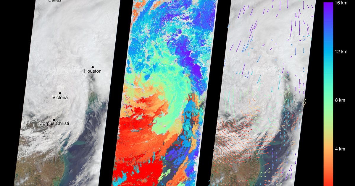
The National Weather Service confirmed 13 tornadoes across North Carolina on Sunday, October 11, 2026, as the inland remnants of Hurricane Isaias swept up the Southeast — eight of them in the Raleigh-to-Fayetteville corridor. At least three were rated EF-2, the strongest in Duplin County with estimated 125 mph winds. Remarkably, no one in the state was killed or seriously hurt. It was the most tornadoes in a single day in North Carolina since the first Hurricane Isaias came ashore in August 2020 — a strange, six-year rhyme between two storms of the same name.
A few outlets reached for “record.” It wasn’t one, and the distinction matters. North Carolina has logged just 95 tornadoes in all of October across 76 years in NOAA’s database — fewer than 1.3 in a typical October. The 13 on Sunday packed nearly 14% of the state’s entire October tornado history into a single afternoon. That is what makes this event remarkable: not that it broke a record, but that it crammed a season’s worth of October tornadoes into one storm.
Where the tornadoes touched down
The damage surveys landed over the following days. The three EF-2s did the heaviest work: one tore through the Duplin County communities of Wallace, Beulaville and Chinquapin at an estimated 125 mph; another hit the Bonnie Doone neighborhood of Fayetteville at 115 mph; a third struck Candor, in Montgomery County, also at 115. The rest were weaker — EF-1s and EF-0s that still ripped off roofs and snapped trees across the Triangle. Below are the surveyed tornadoes with confirmed ratings.
| Location | County | Rating | Est. peak winds |
|---|---|---|---|
| Wallace–Beulaville–Chinquapin | Duplin | EF-2 | 125 mph |
| Bonnie Doone (Fayetteville) | Cumberland | EF-2 | 115 mph |
| Candor | Montgomery | EF-2 | 115 mph |
| Louisburg | Franklin | EF-1 | 110 mph |
| Perry Creek | Wake | EF-1 | 107 mph |
| Jordan Lake | Chatham | EF-1 | 107 mph |
| Linden | Harnett | EF-1 | 105 mph |
| Carpenter | Wake | EF-1 | 100 mph |
| Clayton | Johnston | EF-0 | 85 mph |
| Harrells | Sampson | EF-0 | 75 mph |
Ratings and estimated winds from National Weather Service damage surveys, reported by WRAL and Spectrum News through October 13, 2026. The table shows the tornadoes surveyed with confirmed ratings; the NWS put the statewide total at 13 for October 11, with additional weaker circulations still under review. An EF-1 near the Stone Ridge neighborhood northeast of Raleigh is among the confirmed set.
The no-fatalities outcome is the genuinely lucky part. Tropical-system tornadoes are notorious for striking with almost no warning — they form low in the atmosphere, inside heavy rain that hides them from view and from radar’s clearest signatures. That 13 of them crossed populated parts of the Triangle and Sandhills on a Sunday without a death is the kind of result that does not repeat itself reliably.
Why “record” is the wrong word
Thirteen tornadoes in a day is a lot for North Carolina. It is not the most the state has ever seen, and it is not even the most from a hurricane. The NC State Climate Office was careful on this point: October 11 was the most tornadoes in a single day in the state since the August 2020 Isaias — meaning the 2020 storm produced more. And both fall short of North Carolina’s five largest outbreaks on record, which were overwhelmingly spring severe-weather events.
| Rank | Date | Cause | Confirmed tornadoes |
|---|---|---|---|
| 1 | April 16, 2011 | Spring severe-weather outbreak | 30 |
| 2 | May 7, 1998 | Spring severe weather | 20 |
| 3 | April 15, 1996 | Spring storm system | 18 |
| 4 | September 15, 1999 | Hurricane Floyd | 17 |
| 5 | April 13, 2020 | Spring severe weather | 16 |
| — | October 11, 2026 | Hurricane Isaias (remnants) | 13 |
Only one of the top five came from a tropical system: Hurricane Floyd dropped 17 tornadoes across mostly coastal counties on September 15, 1999. The other four were classic spring setups, topped by the April 16, 2011 outbreak — 30 confirmed tornadoes, part of the broader deadliest tornado events in U.S. history. In our NOAA archive, North Carolina has recorded 1,515 tornadoes since 1950, 124 deaths, and a maximum rating of EF-4. The state has never had an EF-5.
October is the quiet month — which is what makes this strange
Strip the event down to the calendar and it gets stranger. North Carolina’s tornado year is built on two humps. The big one is spring: 258 tornadoes in May and 238 in April since 1950, when cold fronts crash into warm Gulf air. The second, smaller hump is September — 187 tornadoes — and it exists almost entirely because that is when hurricanes come ashore and wring tornadoes out of their rain bands.
October sits in the trough between them. Just 95 October tornadoes in the whole 1950–2025 record — one of the state’s quietest months, ahead of only the dead of winter. A late-season tropical system is about the only thing that lights October up, and that is exactly what Isaias’s remnants were: a September-style event that showed up in the wrong month. When you load 13 tornadoes onto a month that normally produces barely one, a single storm ends up holding a seventh of the entire historical total.
Two storms named Isaias, six years apart
The name is not a coincidence the way it sounds — “Isaias” rotates back onto the Atlantic list every six years unless it is retired — but the symmetry is hard to ignore. The 2020 Isaias came ashore on the southern North Carolina coast in early August and set off the state’s biggest tornado day in years. The 2026 Isaias made landfall far away, near Destin, Florida, as a Category 2 — the season’s first and only hurricane, among the latest ever recorded — and its remnants did it again from 500 miles inland. Same name, same state, same outcome, two very different tracks.
The mechanism is the same one that made Hurricane Milton spin up 44 tornadoes across Florida in a single day in 2024. As a tropical system decays over land, its outer bands keep the low-level winds turning sharply with height, and that shear — dropped into warm, soupy air northeast of the circulation — breeds small, fast supercells. They are rarely violent. They are often invisible until they are on top of you. North Carolina, sitting to the right of storms that track up from the Gulf and Southeast, catches more of them than almost any state outside the Deep South.
Frequently Asked Questions
How many tornadoes hit North Carolina from Hurricane Isaias in October 2026?
The National Weather Service confirmed 13 tornadoes across North Carolina on October 11, 2026, from the inland remnants of Hurricane Isaias — eight of them in the Raleigh–Fayetteville corridor. At least three were rated EF-2, the strongest in Duplin County with estimated 125 mph winds. No deaths and no serious injuries were reported in the state.
Was the October 2026 Isaias outbreak a North Carolina tornado record?
No. Some early reports called it a record for a tropical system, but the NC State Climate Office framed it more precisely: it was the most tornadoes in a single day in North Carolina since the first Hurricane Isaias in August 2020. It falls short of the state’s five largest outbreaks on record, which range from 16 to 30 confirmed tornadoes, including Hurricane Floyd’s 17 in 1999.
Does North Carolina normally get tornadoes in October?
Rarely. In NOAA’s database, North Carolina has recorded just 95 October tornadoes across the entire 1950–2025 period — fewer than 1.3 in a typical October. The state’s tornado season peaks in spring (258 in May, 238 in April since 1950), with a secondary September peak driven by landfalling tropical systems. The 13 on October 11, 2026 packed nearly 14% of the state’s entire October tornado history into one day.
Why do hurricanes spawn tornadoes in North Carolina?
As a tropical system moves inland and weakens, its outer rain bands carry fast-changing winds with height — strong low-level wind shear — into the warm, humid air northeast of the center. That is ideal for small, fast-spinning supercells embedded in the bands. North Carolina sits in the right-front quadrant of storms that come ashore to its southwest, which is why tropical-system tornadoes cluster here. They are usually weaker and shorter-lived than Plains tornadoes, but they strike with little warning.
Final counts can still move: the NWS revises ratings and occasionally adds tornadoes as crews finish surveys, so North Carolina’s 2026 total may tick up before the Storm Prediction Center publishes its annual numbers. If a tornado passed near you on October 11, we want what your rain gauge, roof or neighborhood actually saw — send it along and we’ll fold verified reports into this page.
For the longer view, dig into North Carolina’s full weather records, the running 2026 Atlantic hurricane season that produced Isaias, our ranking of the worst October hurricanes in U.S. history, or the interactive national tornado archive map. You can also look up what the weather did on any past day in your town with our weather history lookup.
Sources & Method
North Carolina tornado counts, deaths, maximum rating and the by-month distribution were computed October 18, 2026 from the site’s Neon copy of NOAA’s Storm Prediction Center severe-weather database (1950–2025), counting single-segment tornado rows in North Carolina. The database credits each tornado to the state where it began, so cross-border tornadoes are attributed to their origin state.
The October 2026 event — 13 confirmed tornadoes, the EF ratings and locations, the no-fatalities outcome, and the “most since the 2020 Isaias” framing — is from National Weather Service damage surveys as reported by WRAL, the Spectrum News ranking of NC’s largest outbreaks, and the NC State Climate Office (October 2026). The 3-day rainfall totals cited elsewhere in Isaias coverage (9.49 inches at Spruce Pine, 9.21 at Jonas Ridge) are also from the State Climate Office. Event tornado counts are not yet in the SPC archive, which ends in 2025; they are cited to the sources above and may be revised.