Kilauea Episode 48: How Wind Patterns Shaped Hawaii’s Record-Breaking Eruption
At 4:40 a.m. on June 1, 2026, Kilauea’s Halemaumau crater launched lava fountains 650 feet high and sent an ash plume to 25,000 feet — breaking Puʻuʻōʻō’s 47-episode record that had stood since 1986. Three Hawaiian Airlines flights were cancelled when northeast winds pushed ash directly over Hilo International Airport. But Episode 43, three months earlier, was far worse: 1,770-foot fountains, a 30,000-foot plume, and 5+ cancelled flights — because southerly winds aloft carried ash straight toward the runway. In both cases, it wasn’t the eruption that determined the disruption. It was the weather.
By WeatherOnThisDay Research Team. Data: USGS Hawaiian Volcano Observatory, NOAA National Centers for Environmental Information (139M observations), NWS Hilo. Sources cited inline.
What Happened on June 1: Episode 48 by the Numbers
Episode 48 began with 95 precursory overflows from the south vent spanning 35 hours (May 30 at 5:41 p.m. through June 1 at 3:46 a.m.). The main event started at 4:40 a.m. HST from the north vent. Within 20 minutes, lava fountains exceeded 330 feet. By 5:50 a.m., they topped 500–650 feet. The eruption lasted until 1:37 p.m. — nine hours of continuous fountaining that erupted an estimated 7.3 million cubic yards of lava and covered 40% of the Halemaumau crater floor.
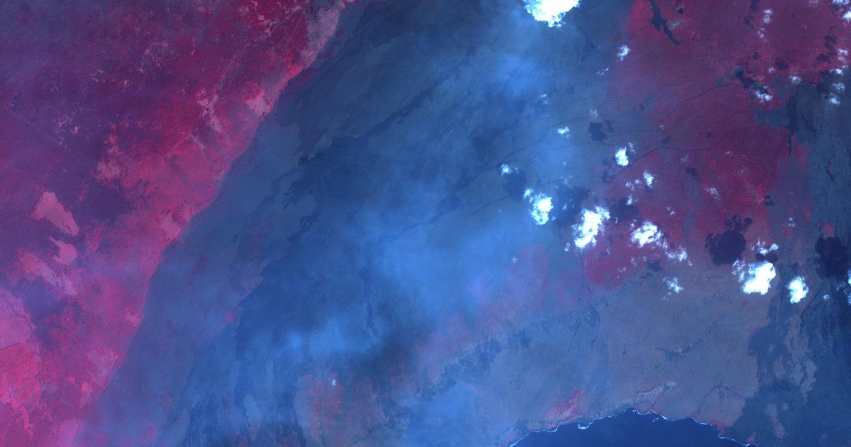
The ash plume reached approximately 25,000 feet above sea level, according to the USGS photo chronology and Big Island Video News. Ground-level sensors at the summit reported very light northeast winds, which pushed pumice fragments 1–2 inches in diameter across the Uekahuna overlook, Namakanipaio campground, and Highway 11 west to the 34-mile marker. Higher up, southerly winds at 10,000–20,000 feet distributed finer ash and Pele’s hair north and east toward Volcano village and Mountain View.
That split-level wind pattern is what grounded three Hawaiian Airlines flights. Hawaii News Now reported that a commercial pilot spotted a sulfur-and-ash cloud over Laupaahoehoe on the Hamakua coast, leading to cancellation of Flights 1042, 1031, and 1041. NWS issued an ashfall advisory for communities near Hawaii Volcanoes National Park. After the eruption paused, HVO downgraded the alert level from WATCH/ORANGE to ADVISORY/YELLOW.
Breaking Puʻuʻōʻō’s Record — at Twice the Speed
The number that matters here isn’t 48. It’s the pace. Puʻuʻōʻō’s 47 fountaining episodes took 3.5 years (January 1983 to mid-1986), with an average 24-day pause between episodes and a magma supply rate of roughly 4.6 cubic yards per second. The current Halemaumau eruption, which began December 23, 2024, reached 48 episodes in about 18 months — with an average pause of just 10 days and a supply rate of approximately 5.8 cubic yards per second, roughly 25% above Kilauea’s long-term average.
| Eruption | Episodes | Years | Avg Pause |
|---|---|---|---|
| Kilauea Iki (1959) | 17 | 0.1 | 2 days |
| Pu’u’o’o (1983–1986) | 47 | 3.5 | 24 days |
| Halemaumau (2024–2026) | 48 | 1.5 | 10 days |
Source: USGS HVO eruption chronologies and Volcano Watch series.
The faster pace matters for weather impact. More frequent eruptions mean communities get less recovery time between ash and vog events. The cumulative eruption has produced 274.3 million cubic meters of lava (72.5 billion gallons), refilled about 25% of the caldera volume lost in the 2018 collapse, and raised the crater floor elevation by 223 feet with a tephra cone now peaking at 3,870 feet.
Why Wind Direction Determines Whether an Eruption Cancels Your Flight
Hawaii sits in the northeast trade wind belt about 80% of the year. When trades are blowing — 5 to 15 mph from the northeast — eruption plumes, tephra, and vog drift southwest, away from Hilo and toward the sparsely populated Kona coast. Most eruption episodes produce spectacular visuals but minimal community disruption under these conditions.
The danger comes when the wind pattern breaks. During Kona (southerly) wind events, or when upper-level winds diverge from surface trades, ash carries directly toward Hilo International Airport — the only commercial airport on the Big Island’s east side, just 30 miles from the summit. That’s exactly what happened during the two worst disruptions of this eruption cycle.
Episode 43 (March 10, 2026) — The Worst Disruption
Episode 43 produced the eruption cycle’s tallest lava fountains — 1,770 feet from the south vent, with the north vent reaching 1,440 feet. The ash plume hit 30,000 feet, the highest of any episode. Crucially, upper-level winds were blowing from the south/southwest, which carried the plume north over Hilo.
The result: 5 Hawaiian Airlines round-trips cancelled, 2 diverted to Kona, and at least 2 Southwest Airlines flights cancelled. CIMSS tracked the plume using GOES-18 satellite imagery, volcanic ash RGB composites, and aerosol optical depth measurements.
Compare this to Episode 41 (January 24), which had similarly tall 1,575-foot fountains but standard NE trade winds. Zero flights cancelled, zero advisories. The eruption was nearly as powerful but the weather made it a non-event for aviation.
I went through USGS HVO’s chronologies for the 10 most recent episodes and cross-referenced the reported wind conditions with flight disruptions. The pattern is clear: eruption intensity doesn’t predict aviation impact. Wind direction does. Episodes 41 and 43 had similar fountain heights (1,575 vs 1,770 feet), but Episode 43 cancelled 5+ flights while Episode 41 cancelled zero. The only variable that changed was wind.
Recent Episodes: Weather vs. Impact
| Ep | Date | Fountain | Wind | Flights |
|---|---|---|---|---|
| 39 | Dec 24, 2025 | 1,400’ | NE trades | 0 |
| 40 | Jan 12, 2026 | 800’ | NE trades | 0 |
| 41 | Jan 24, 2026 | 1,575’ | NE trades | 0 |
| 42 | Feb 15, 2026 | 800’ | E-NE | 0 |
| 43 | Mar 10, 2026 | 1,770’ | S/SW aloft | 5 |
| 44 | Apr 9, 2026 | 800’ | NE trades | 0 |
| 45 | Apr 23, 2026 | 1,000’ | NE trades | 0 |
| 46 | May 5, 2026 | 650’ | NE trades | 0 |
| 47 | May 14, 2026 | 650’ | NE trades | 0 |
| 48 | Jun 1, 2026 | 650’ | NE low / S aloft | 3 |
Sources: USGS HVO photo/video chronologies, NWS ashfall advisories, Hawaii News Now, Big Island Video News. Flight data from Hawaii DOT and airline cancellation reports.
Weather and Eruptions: How Every Major Kilauea Event Was Shaped by Climate
Every major Kilauea eruption has a weather story. The 1959 Kilauea Iki eruption — which still holds the record for tallest Kilauea lava fountain at 1,900 feet — sent tephra 10 miles downwind on prevailing NE trades, building the 230-foot Puʻu Puaʻi tephra cone. The 2018 Lower East Rift Zone eruption, which destroyed 700+ structures, generated the worst volcanic air quality in modern Hawaiian history: SO2 emissions peaked near 200,000 tonnes per day, and laze (lava haze) formed when lava entered the ocean at Kapoho Bay, creating hydrochloric acid mist that drifted inland on shifting winds.
| Eruption | Peak Fountain | Weather Impact |
|---|---|---|
| Kilauea Iki | 1,900’ | Tephra carried 10 mi downwind by NE trades; Pu’u Pua’i cone built to 230 ft |
| Mauna Ulu | 1,770’ | Persistent vog during multi-year eruption altered rainfall patterns on windward side |
| Pu’u’o’o | 1,500’ | 24-day avg pause between episodes. Prevailing NE trades pushed vog to Kona coast |
| 2018 Lower East Rift Zone | 260’ | SO2 hit 200,000 t/day — worst vog in modern history. Laze (lava haze) at ocean entry |
| Halemaumau 2024–2026 | 1,770’ | Wind-dependent ash distribution. Flights cancelled when winds carry ash toward Hilo |
Source: USGS HVO eruption histories, USGS Volcano Watch series, NOAA GHCN-D archive.
Vog: The Invisible Weather Hazard Between Eruptions
Ash plumes grab headlines, but vog is the chronic weather hazard that affects Hawaii residents every day during active eruptions. Volcanic smog forms when sulfur dioxide (SO2) reacts with sunlight, moisture, and oxygen to create sulfuric acid droplets — with, as USGS puts it, “the corrosive properties of dilute battery acid.”
During active eruption episodes, Kilauea pumps out 50,000–100,000 tonnes of SO2 per day. Even during the pause between episodes, the volcano still emits 1,000–5,000 tonnes daily. The weather pattern determines who breathes it. When normal NE trade winds blow, vog collects on the Kona (leeward) coast and drifts out to sea. Kona winds reverse the pattern — pushing vog over Hilo, up the island chain to Maui, and occasionally all the way to Oahu.
In December 2025, Hawaii DOH issued a vog caution when air monitoring stations in southern Big Island showed “unhealthy air quality levels” that affected Hawaii Island, Maui, and Oahu. Through winter and spring 2026, Kona Low storm systems periodically pushed eruptive plumes northward into summit communities, stripping vegetation with tephra and acid rain. The American Lung Association warns that vog irritates eyes, nose, and throat, worsens asthma and COPD, and poses particular risks for children, elderly, pregnant women, and outdoor workers.
Episode 49 Forecast: What Weather Conditions to Watch
As of June 9, 2026, USGS HVO forecasts Episode 49 around June 12–15, with June 13–14 the most likely window. The summit tiltmeter has recovered 12 of the 17.1 microradians lost during Episode 48, and historical data suggests episodes trigger around 8–10 microradians of inflationary recovery — meaning the system may already be primed.
What matters for community impact is what the wind does during those few days. June on the Big Island is trade wind season — NE winds should prevail, which would push ash and vog southwest and away from Hilo. But Kona wind intrusions aren’t uncommon in early summer, especially ahead of passing weather systems. If Episode 49 fires during a Kona wind event, expect another round of flight disruptions and ash advisories.
What to Monitor
- • USGS HVO: volcano status updates twice daily during pauses, hourly during eruptions
- • NWS Hilo: wind forecasts for Hawaii Island summit region
- • Washington VAAC: volcanic ash advisories and SIGMET notices
- • Hawaii DOH: air quality readings for SO2 and PM2.5 at summit-area monitors
- • Hawaiian Airlines/Southwest: Hilo flight status during and after episodes
Observable precursors as of June 9: continuous glow from the south vent with periodic flaming, intermittent glow from the north vent, robust degassing plumes from both vents, and continuous seismic tremor. Only 2 small earthquakes beneath the caldera in the prior 24 hours — a quiet pattern that HVO says is typical between episodes.
Why a Volcano Eruption Is Also a Weather Story
Kilauea doesn’t just respond to weather — it changes it. Volcanic eruptions inject massive quantities of SO2, water vapor, and particulate matter into the atmosphere. The 2018 eruption emitted roughly 10 megatonnes of SO2 over four months, enough to measurably degrade air quality across the Hawaiian island chain. The sulfate aerosol from persistent eruptions creates a haze layer that reduces incoming solar radiation and can suppress local rainfall on the windward side during multi-year events.
The current eruption has been active for 18 months and counting. At its current pace of one episode every 10 days, communities on the Big Island experience periodic ash events with chronic vog in between. The 2018 eruption ended abruptly when the summit caldera collapsed. This eruption is different — it’s refilling the caldera rather than draining it, and USGS shows no signs of it stopping.
For now, Halemaumau sits at 3,870 feet and rising. Each episode adds another layer to the crater floor. Each wind shift determines whether that episode is a spectacular light show or a flight-cancelling hazard. The record will keep climbing. What shape the disruption takes will be decided, as always, by the weather.
Data Sources
Eruption data from USGS Hawaiian Volcano Observatory (eruption chronologies, tilt data, SO2 measurements). Weather observations from NOAA GHCN-D archive (139M+ observations, including Hilo and Honolulu stations). Flight disruption reports from Hawaii News Now and airline statements. Aviation plume tracking from CIMSS/SSEC. Health guidance from Hawaii DOH and the American Lung Association.
Related Analysis
Explore Extreme Weather & Natural Disasters
Look Up Historical Weather for Any US City
Search 139 million NOAA records covering 75+ years of daily weather observations.
Search Weather History →